All tools

CARTO
Cloud-based platform for spatial data science and location intelligence analytics.
Alternative to ArcGIS
Founded
2012
About
CARTO is the leading cloud-native location intelligence platform, enabling organizations to use spatial data and analysis for more efficient delivery routes, better behavioral marketing, strategic store placements, and much more.
Features
- Spatial SQL analysis in cloud data warehouses
- Native BigQuery, Snowflake, and Databricks connectors
- Drag-and-drop Builder map interface
- Low-code Workflows for spatial pipelines
- deck.gl-based visualization components
- Data Observatory catalog of spatial datasets
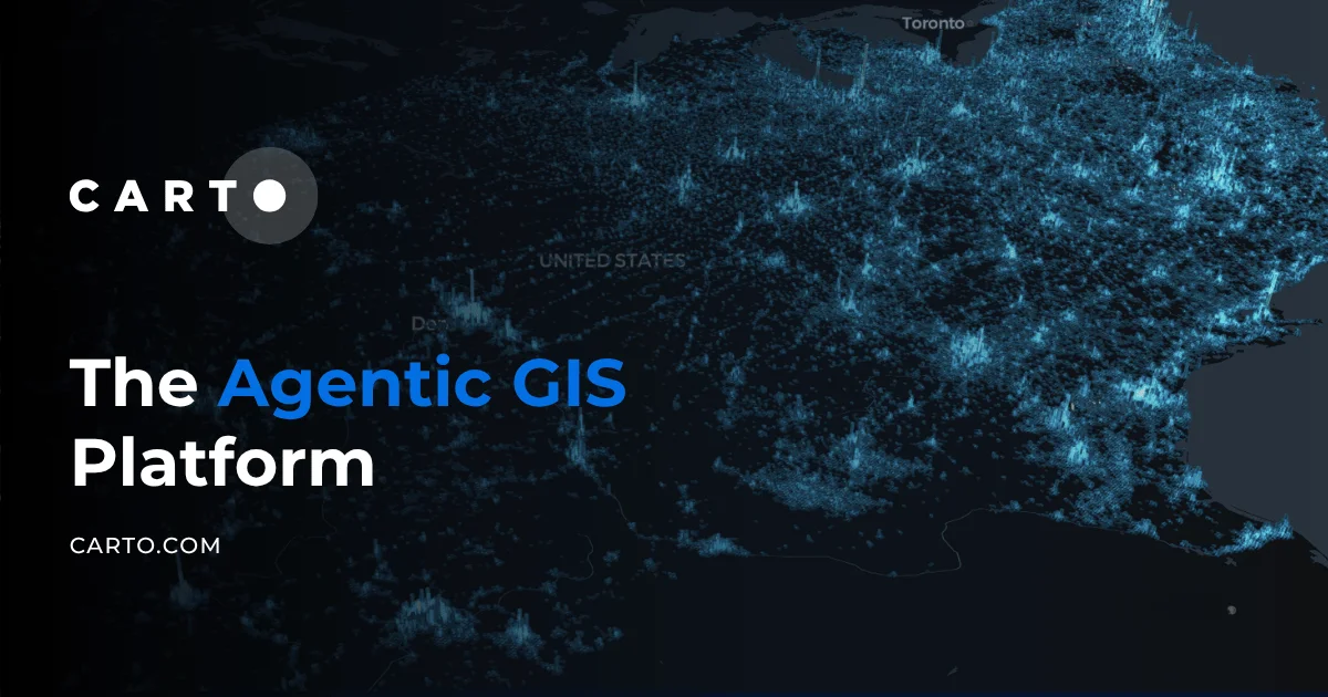
Screenshot
Alternatives & competitors



Details
- Type
- SaaS
- Pricing
- paid
- HQ
- Madrid, Spain