All tools

MapLibre-Geoman
Open Source
MapLibre plugin for drawing, measuring, and editing geometry layers in web maps.
License
MIT
About
MapLibre-Geoman is a plugin for drawing and editing geometry layers in MapLibre GL JS and Mapbox GL JS web maps. It works with markers, polylines, polygons, circles, rectangles, GeoJSON, and other vector geometries, with cutting, splitting, and other advanced operations available in a commercial Pro edition. The free package is open source under the MIT license and supports MapLibre GL JS 6.
Features
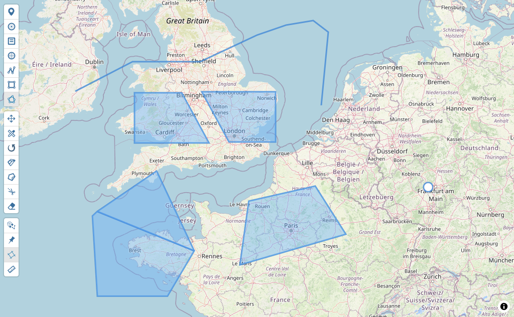
- Draw and edit markers, lines and polygons
- Cut, split, rotate and scale geometries
- Vertex snapping and measurement tools
- Works with MapLibre GL JS and Mapbox GL JS
- GeoJSON import and programmatic drawing API
- Custom toolbar controls API
Screenshot
Alternatives & competitors

Details
- Type
- Plugin
- Pricing
- open-source
- License
- MIT
- Hosting
- Self-host
Platforms
web
Languages
JavaScript
TypeScript
Data formats
GeoJSON