OpenDroneMap
Open-source CLI for turning aerial imagery into orthophotos, point clouds, DEMs, and 3D models.
AGPL-3.0
About
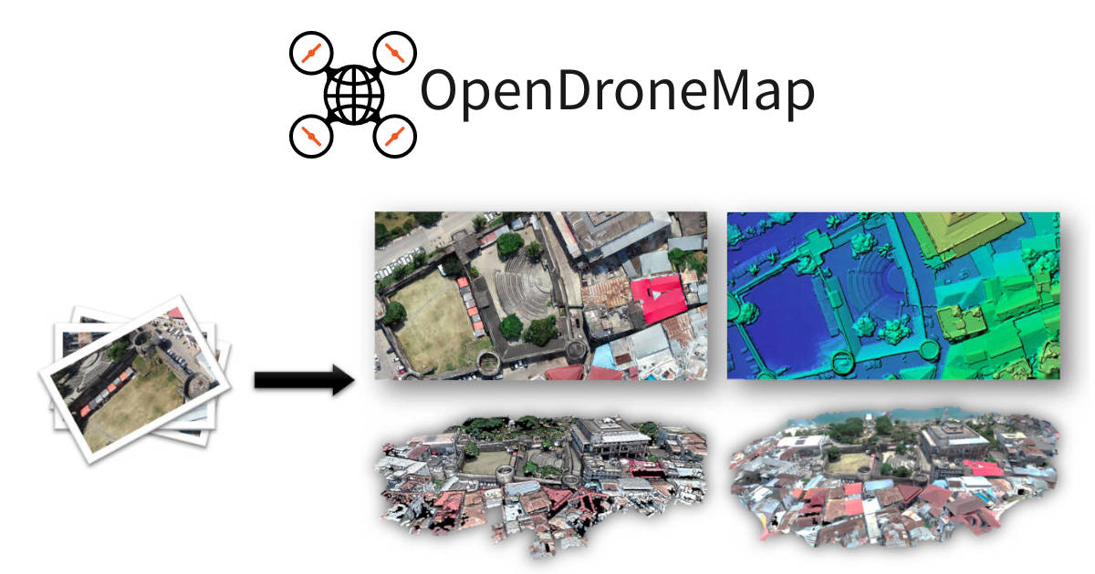
OpenDroneMap (ODM) is an open-source command-line toolkit for processing aerial imagery from drones, balloons, kites, and street-view sources. It produces georeferenced orthophotos, digital elevation models, classified point clouds, and textured 3D meshes. ODM runs natively on Windows, macOS, and Linux or through Docker, and can be integrated into larger photogrammetry pipelines.
Features
- Generates orthophotos, DEMs, point clouds, and 3D meshes
- Command-line toolkit for drone image processing
- Runs natively or through official Docker images
- GPU-accelerated SIFT feature extraction with CUDA
- Extracts frames from video files with GPS subtitles
- Built on OpenSfM, OpenMVS, PDAL, and GDAL
Screenshot
Related tools

QGIS
Free and open-source cross-platform desktop GIS. Create, edit, visualize, analyze and publish geospatial data.

OpenLayers
High-performance, feature-packed library for creating interactive maps on the web.

Turf.js
Advanced geospatial analysis library for browsers and Node.js. Modular and fast.

H3
Uber's hexagonal hierarchical geospatial indexing system for efficient spatial analysis.
Details
- Type
- CLI
- Pricing
- open-source
- License
- AGPL-3.0
- Hosting
- Self-host