All tools

OpenGlobus
Open Source
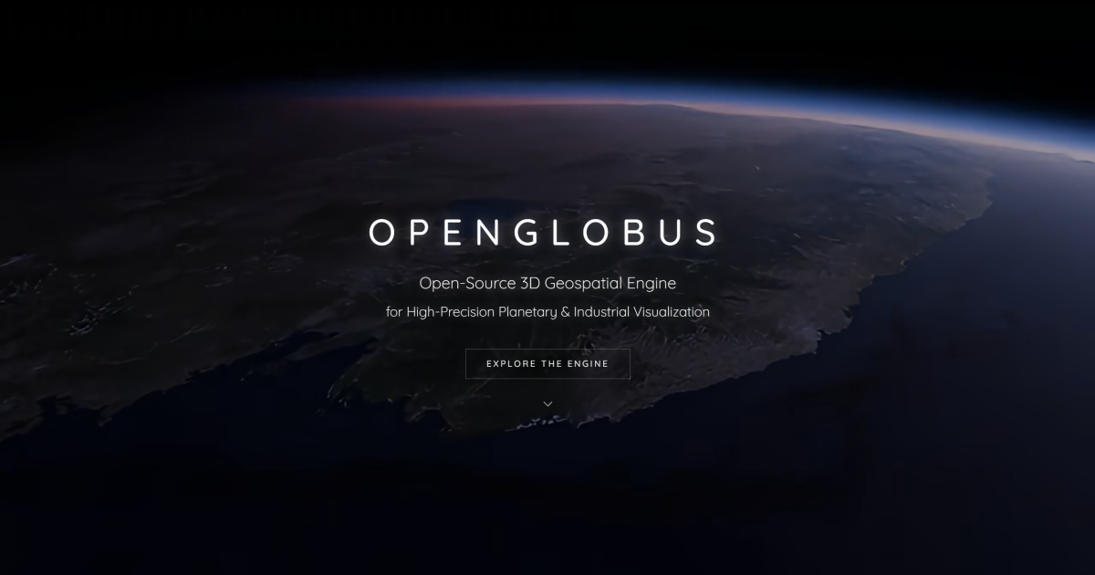
WebGL engine for interactive 3D globes, terrain, and geospatial data at planetary scale.
Alternative to Google Earth
License
Apache-2.0
About
OpenGlobus is a TypeScript/JavaScript library for displaying interactive 3D maps, globes, terrain, and other geospatial data in the browser. It uses WebGL, supports imagery and terrain providers, and provides tools for rendering and measuring large 3D scenes. It can be installed as an npm package or embedded directly in web applications.
Features
- Renders interactive 3D globes in the browser
- Supports high-resolution terrain and imagery providers
- Renders thousands of 3D objects at once
- Geometry measurement tools included
- Installable as the @openglobus/og npm package
- React integration via companion package
Screenshot
Alternatives & competitors
Details
- Type
- Library
- Pricing
- open-source
- License
- Apache-2.0
- API
- sdk
- Hosting
- Self-host
Platforms
web
Languages
TypeScript
JavaScript
Data formats
GeoTIFF
KML
GeoJSON
WMS